The survey and mapping industries rely on specific equipment to create terrestrial and 3D position points and the distances between them. This equipment includes total stations, GPS receivers, 3D scanners, digital levels, subsurface locators, drones, GIS and other surveying software. Governments, municipalities and utility owners rely on survey and mapping to build as-built maps to show the utility location and also use the data provided to import into their GIS and other surveying software.
The Challenges
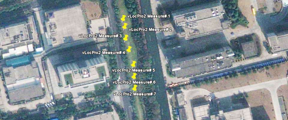
Accurate points of location, accurate data and versatile products are some of the challenges for this industry. GPS coordinates, depth of cover, condition of coating, the magnitude of cable faults and depth of EMS markers are just a few examples of the types of data fields required by the utility owner. Gathering this information with as much accuracy as possible while carrying a few pieces of equipment is key for success.
Our Solutions
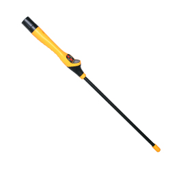
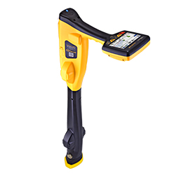
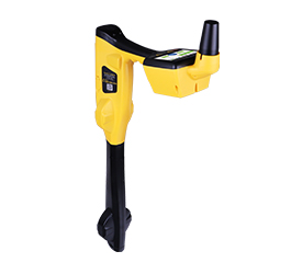
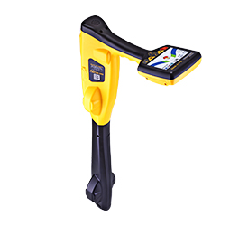
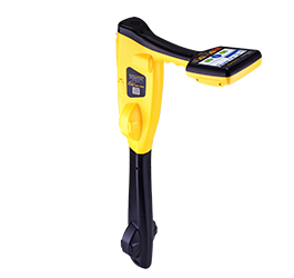
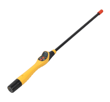
The Locator range from Vivax-Metrotech allows the user to:
We use cookies on our website to give you the most relevant experience by remembering your preferences and repeat visits. By clicking “Accept”, you consent to the use of ALL the cookies.
This website uses cookies to improve your experience while you navigate through the website. Out of these, the cookies that are categorized as necessary are stored on your browser as they are essential for the working of basic functionalities of the website. We also use third-party cookies that help us analyze and understand how you use this website. These cookies will be stored in your browser only with your consent. You also have the option to opt-out of these cookies. But opting out of some of these cookies may affect your browsing experience.
Necessary cookies are absolutely essential for the website to function properly. This category only includes cookies that ensures basic functionalities and security features of the website. These cookies do not store any personal information.
Any cookies that may not be particularly necessary for the website to function and is used specifically to collect user personal data via analytics, ads, other embedded contents are termed as non-necessary cookies. It is mandatory to procure user consent prior to running these cookies on your website.